Stop Watching Markets, Buy Land
Unnamed : Sanders, AZ 86512
Apache County, Arizona
Land Description
While the Market Shakes, the Ground Holds Still.
Every time the stock market stumbles, millions of people watch their savings shrink on a screen - helpless, anxious, and wondering what they should have done differently. But there's a kind of investment that doesn't have a ticker symbol, doesn't crash at 9:30 AM, and doesn't care what the Fed announced this morning.
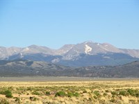
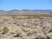
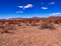
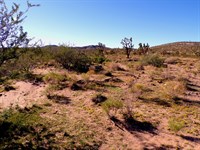
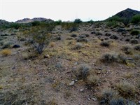
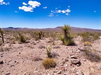
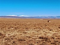
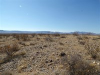
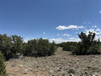
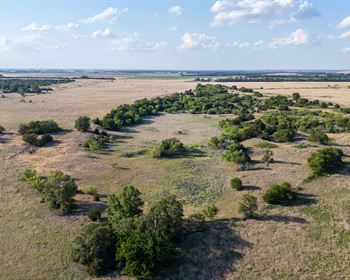
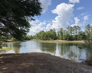
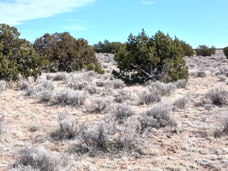
This 1.02-Acre flat desert lot near Sanders, Arizona is the kind of asset that simply exists - solid beneath your feet, yours to hold, yours to keep. No volatile swings. No quarterly earnings report. No sleepless nights.
And the best part? Getting in has never been easier:
• No credit check - your past doesn't have to block your future
• No HOA - no fees, no rules, no one telling you what to do with your land
• Just $100/Month - less than most people spend on car payments
Whether you're looking for a long-term investment, a place to escape, or simply the peace of mind that comes with owning something real - this is a rare, low-barrier opportunity to put your money into something that stands the test of time.
Land has been humanity's most trusted asset for thousands of years. This is your chance to own a piece of it.
Call today to get started - it's simpler than you think.
-------- • Property Details • --------
Parcel Size: 1.02 Acres
Subdivision: Apache Park Estates II - Lot 172
County: Apache County, Arizona
Terrain: Flat
Elevation: 6482 ft
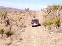
Road Access: Dirt Road (Unnamed)
Closest Highway: US Hwy-191
Nearby Attractions: Petrified Forest National Park, Agate Bridge, Rainbow Forest Museum
-------- • Financial Information • --------
Down Payment: $100
Monthly Payment: $100/Month × 60 months
Annual Property Taxes: ~$6.30/Year
Doc Fee: $250
Credit Check: None Required
-------- • Coordinates • --------
Center: 34°57'00.0"N 109°21'44.2"W
Northwest: 34°57'1.61"N, 109°21'45.06"W
Northeast: 34°57'1.63"N, 109°21'43.35"W
Southeast: 34°56'58.38"N, 109°21'43.35"W
Southwest: 34°56'58.38"N, 109°21'44.98"W
-------- • Location And Nearby Amenities • --------
The closest town is Sanders, AZ, just minutes away - close enough for essentials, far enough for peace and quiet.
Schools: St. Johns Middle School, Coronado Elementary School, St. Johns Headstart
Groceries: The Market at St. Johns, Sprouts Farmers Market, Sprouts Farmers Market
Gas: 24 Hour Gas & Go, Circle K, Shell
Closest Major City: Albuquerque
-------- • More About The Property • --------
Your Land. Your Blueprint.
This GA - General Agricultural lot is primed for your vision, with zero HOA and zero POA standing between you and your plans. The zoning welcomes a wide range of home types - site-built, modular, manufactured, or even a tiny home - so whether you're dreaming of a cozy retreat or a full-scale residence, this land accommodates it all.
Room to Grow, On Your Own Terms.
Camping is also permitted for up to 30 consecutive days, and RV stays are allowed without septic for the same window - making this an incredibly versatile parcel whether you're building now or planning for later. This is the kind of property that meets you where you are and grows with you every step of the way.
Directions to Land
From Sanders, head south on US Highway 191 - the property is located approximately 16 miles south along this route.
The parcel sits within the Arizona Park Estates Unit II subdivision.
As you approach the area, look for an unnamed dirt access road that leads directly to the lot.
The center of the property is located at coordinates 34°57'00.0"N, 109°21'44.2"W, which you can plug directly into Google Maps or any GPS device for turn-by-turn guidance.
More Land Details
More Land from LeAnn Specht
 4.7 AC : $8K
- 1.1 AC : $8K
- 2.5 AC : $8.8K
- 0.2 AC : $9K
- 1.2 AC : $10K
- 1 AC : $8.4K
- 2.4 AC : $9.8K
- 0.2 AC : $9.5K
- 1.1 AC : $6.4K
- 2.1 AC : $8.2K
- 3.6 AC : $9K
- 1 AC : $7.5K