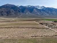
Barton County Cropland & Pasture
360 Sw 130 Ave : Pawnee Rock, KS 67567
Barton County, Kansas
Land Description
This Barton County Cropland & Pasture tract is 2.5 miles north of Pawnee Rock, KS, along SW 40th Rd and SW 130th Ave., 1.5 miles west of the SW 110 Ave. Blacktop.
Legal Description S17, T20, R15 W, Sw/4 Less R/W
Land
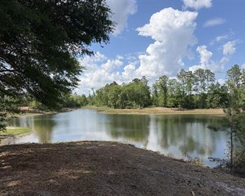
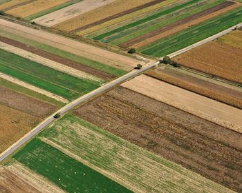
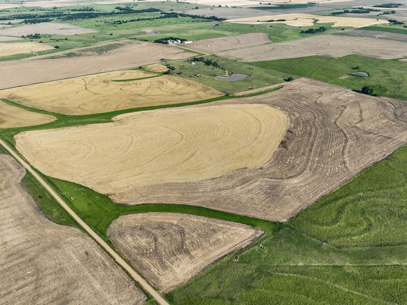
This quarter section consists of +/-157 acres in total, consisting of +/-121 acres of class 2 & 3 dryland soils, with the +/-36 acre balance being pasture land. Wheat and milo have been the primary crops planted in recent seasons. The dry land acres are under a 1/3-2/3 share crop agreement with a credible and steadfast farm tenant, providing a reliable income stream that can be maintained if desired. The pasture acres are cash rented adding an additional income stream, and also includes a 3/4 acre pond. Additionally, there is a radio tower towards the northwest corner of the property providing an additional yearly income stream.
With convenient access via a county road and electricity along the west side, this tract is well-suited for additional utility hookups or water wells. Ideally situated just 1.5 miles from the Pawnee Rock, KS blacktop, 2.5 miles north of the Pawnee Rock grain elevator, and approximately 10 miles southwest of Great Bend, KS, this location ensures quick and easy access to essential amenities and services. Give the listing agent a call today.
Property Features +/-121 acres of cropland with Class 2 & 3 soils
County road access and electric on west side
1.5 miles from blacktop
10 miles southwest of Great Bend, Ks
Cropland is currently leased on a year-to-year 1/3-2/3 share crop agreement
Pasture is currently rented on a cash rent agreement
Radio Tower Income
Annual Rainfall Averages 24-26
Surface Only
120 Miles to Wichita Airport
2025 Taxes - $1,487.66
Please contact the listing agent for more information on this property or to schedule a private showing. Financial verification is required.
More Land Details
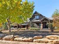
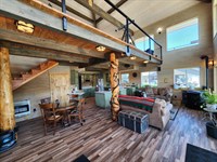
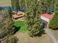
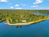
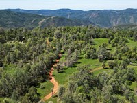
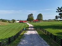
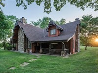
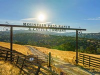
More Land from Hayden Outdoors
 1,222 AC : $8.9M
- 558.3 AC : $1.7M
- 125.5 AC : $1.85M
- 28 AC : $7M
- 472.7 AC : $845K
- 251.5 AC : $850K
- 203 AC : $3.5M
- 91.1 AC : $2.9M
- 7,000 AC : $21M
- 505 AC : $4.39M
- 64.5 AC : $335K
- New325 AC : $6.79M