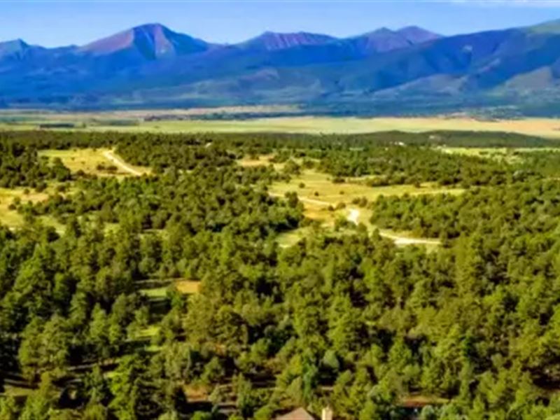
2.47 Acre with Trees and Mountain
Cotopaxi, CO 81223
Fremont County, Colorado
Land Description
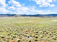
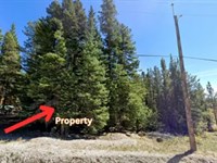
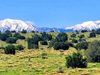
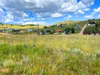
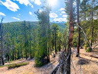
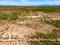
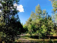
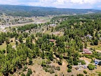
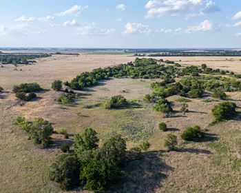
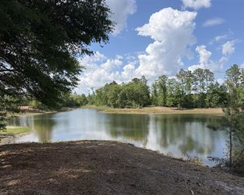
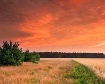
The 2.47-Acre vacant land in Cotopaxi, Colorado is an ideal spot for anyone looking to enjoy a peaceful and secluded rural lifestyle. The lot is level, with tons of trees onsite, and no homeowners association. Located in Fremont County, the closest cities or towns are Salida (20 minutes away), Westcliffe (25 minutes away), and Canon City (45 minutes away).
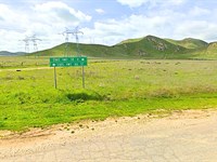
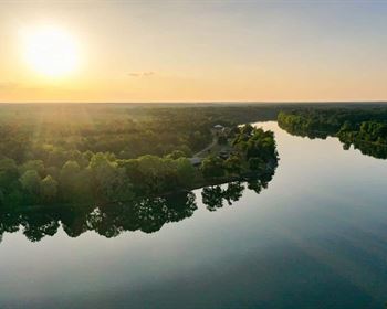
The area is incredibly scenic and rich in outdoor activities for all types of adventure seekers. Popular attractions include the San Isabel National Forest, the Arkansas River, and the Royal Gorge Bridge and Park. Outdoor activities in the area include camping, fishing, hiking, biking, and ATV trails. Additionally, the Arkansas Headwaters Recreation Area, located nearby, offers a variety of recreational activities like white water rafting, kayaking, wildlife viewing, and rock climbing.
Property Details:
Property ID: 0534
Price: $16,900 Cash
Seller Financing Price: $890 Down. Contact Us.
Sale Type: Cash or Term
Property Lot Size: 2.47 acres
Best Attribute: Tons of trees on site
General Location: 20.7 miles to Cotopaxi and 74.1 miles to Colorado Springs
Center of GPS Coordinates: 38.787, -105.463704244829
Approximate Annual Tax: 121.36
Parcel Number (Apn): 76014432
General Elevation: 7523
Terrain: Mostly Level
Zoning: Residential
HOA/POA: No
Time limit to build: No time limit
Utilities:
Power: Buyer to install Off-Grid/Solar
Water: Buyer to drill a well or use a cistern
Sewer: Buyer to install a septic system
Land Maps & Attachments
Directions to Land
Cotopaxi
Colorado 81223, USA
Take Co Rd 12 to Co Rd 1A
1. Head toward Co Rd 12
2. Turn left onto Co Rd 12
Continue on Co Rd 1A to Gulch Rd
3. Continue onto Co Rd 1A
4. Turn left onto CO-69 N
5. Turn right onto Gulch Rd
6. Turn right onto Copper Gulch Rd
Continue on L Path to your destination
7. Turn left onto L Path
8. Turn left onto K Path
9. Slight left
10. Turn right toward 38th Trail
11. Turn left onto 38th Trail
12. Turn left
More Land Details
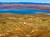
More Land from Bei Zhang
 3 AC : $25.9K
- 0.4 AC : $52.9K
- 2.5 AC : $17.9K
- 2.3 AC : $14.9K
- 0.7 AC : $89.9K
- 7.9 AC : $59.9K
- 8 AC : $49.9K
- 4.2 AC : $68.9K
- 1.2 AC : $46.9K
- 2.5 AC : $12.9K
- 0.4 AC : $38.9K
- 40 AC : $49.9K