Off Grid Homestead for Sale
Carson, NM 87517
Taos County, New Mexico
Land Description
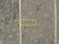
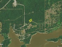
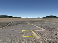
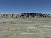
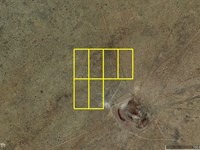
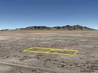
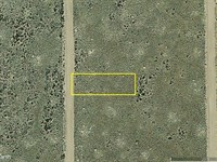
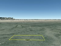
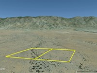
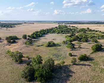
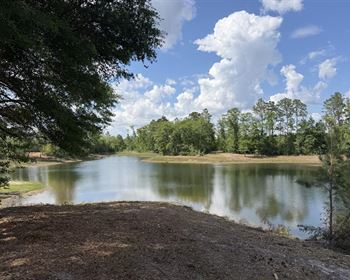
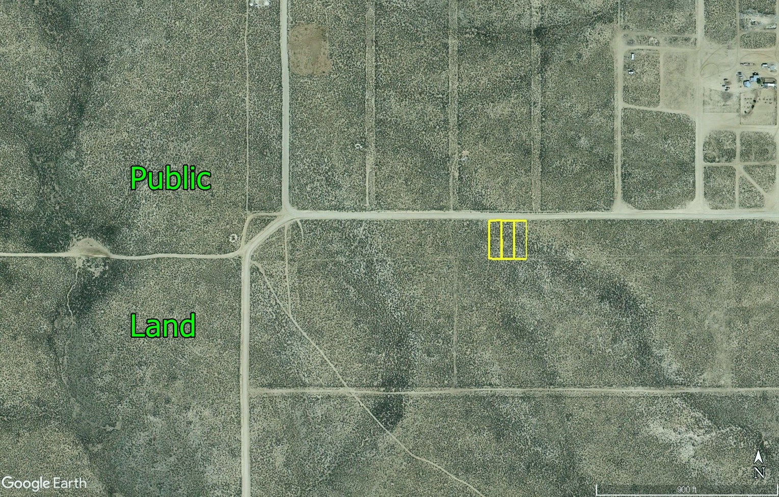
These are three adjoining approximately ¼ acre lots in the beautiful Ranchos De Taos Estates area of Taos County, New Mexico.
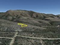
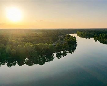
There are tremendous mountain views in several directions.
These lots are along Montoya Road, which is maintained by the county.
You can combine them into a single approximately 0.75 acre property if you choose to do so.
RV and camp without restriction. Build if and when you want to, or just hold for investment.
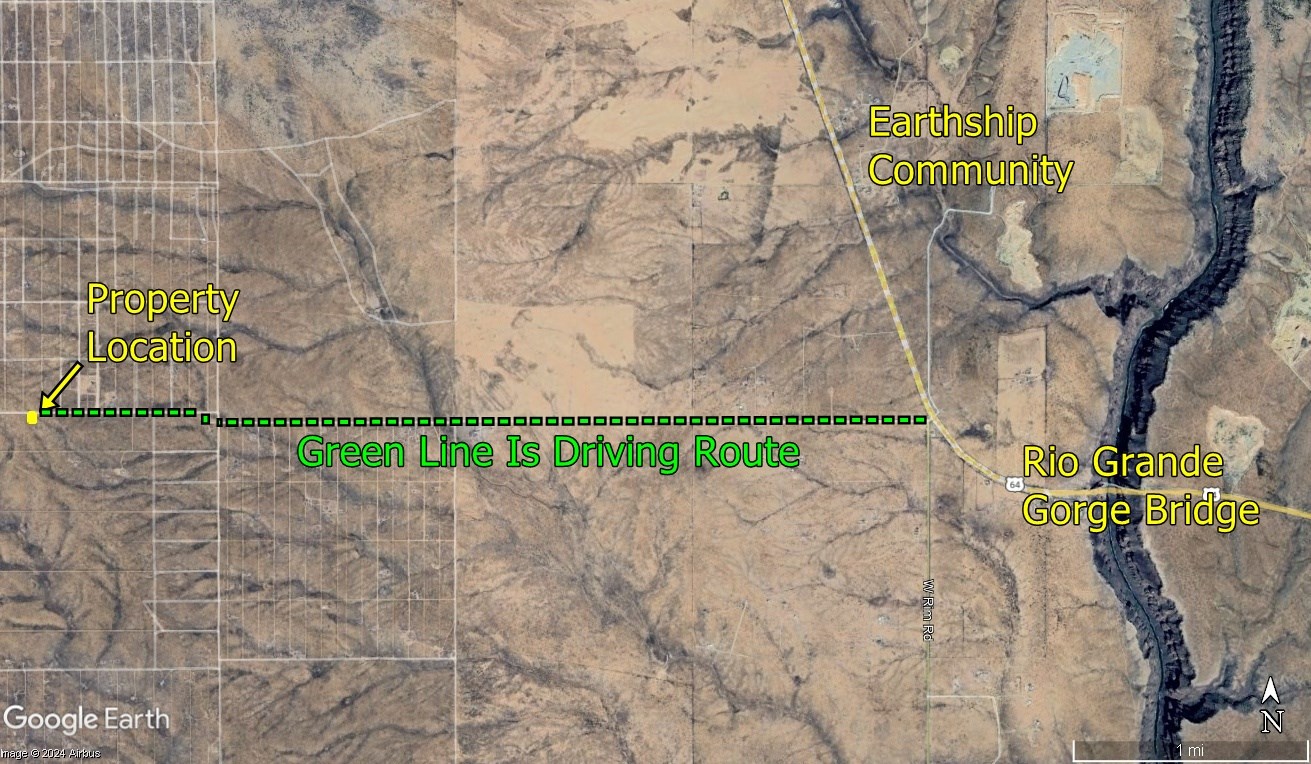
Close to national forest. Just a short distance from the art and restaurants of Taos. The Earthship Community is nearby.
This is a very laidback area. No subdivision restrictions. No property owners association. No home owners association. Lots of natural beauty and freedom.
You will be off grid with no municipal utilities. There is a community water well just off of the highway turnoff where local residents can pay a one time fee for lifetime access
These properties are Ranchos De Taos Estates, Unit 1, Block 33, Lots 62, 63, 64.
We do not run credit checks, everyone qualifies for the same financing.
With an initial payment of $294 we will finance the balance for as little as $226.45 per month over 10 years.
For more information or to purchase, please click on the green Land Website button below.
Land Maps & Attachments
Directions to Land
Leave Taos on Route 64 to the west. In about 8 or 9 miles you will cross the Rio Grande River Gorge Bridge.
About 0.8 mile after crossing the bridge turn left at 36.480848 -105.747112.
33 yards later you will cross a cattle guard. Immediately after crossing the cattle guard bear to the right, so that you are headed west on Sheep Herder Road. Do not take the road to the left (south).
3.03 miles after the cattle guard at 36.480570 -105.801758 the road will begin bending to the right. 85 yards later follow the bend to the left, continuing to head west.
0.74 mile after the previous GPS coordinates the northeast corner of Lot 62 will be on your left.
More Land Details
More Land from Samantha Stephens
 0.3 AC : $4K
- 0.8 AC : $18K
- 26.6 AC : $20K
- 0.4 AC : $5K
- 0.3 AC : $3K
- 1.2 AC : $9K
- 11 AC : $24K
- 7.5 AC : $12K
- 1 AC : $4K
- 0.3 AC : $4K
- 25.1 AC : $18K
- 1 AC : $5K