Cherokee Co 5.22 Ac Near Allatoona
Lower Sweetwater Road : Canton, GA 30114
Cherokee County, Georgia
Shown by Appointment Only
Land Description
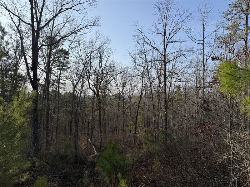
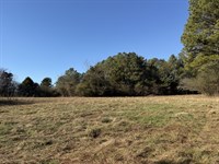
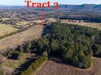
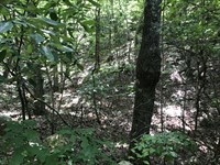
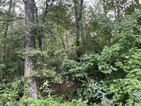
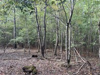
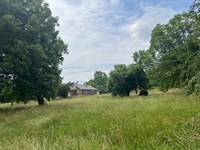
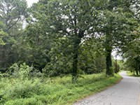
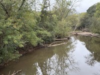
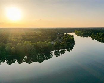
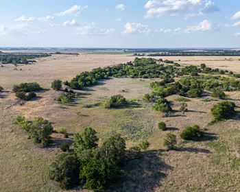
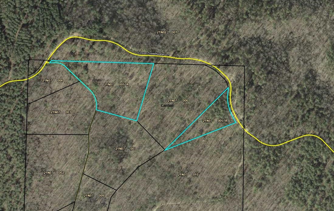
Price Reduced-“The Last Piece of Heaven in Cherokee County, Georgia” - Quote from the owner - 5.22± Private Acres Near Lake Allatoona Clear a few trees and unlock breathtaking long-range views from this incredibly remote 5.22± acre property. If you've been searching for the perfect escape to build your dream retreat or create an off-grid lifestyle, this is it. Offering exceptional seclusion, the property is bordered by a large neighboring tract and is located very close to the U.S. Army Corps of Engineers (Wma) land surrounding Lake Allatoona - ideal for outdoor enthusiasts who value privacy, nature, and recreation. The acreage is divided into two separate, noncontiguous parcels: • Tract A: 3.66± acres • Tract B: 1.56± acres Zoning: AG (Agricultural) Topography: Rolling to steep terrain, providing character and potential view sites. Access is via a dirt road that is not maintained by Cherokee County. Trucks or SUVs are required, and 4WD is strongly recommended. Please note: No utilities currently service the property. If you're ready to unplug and enjoy peace, privacy, and proximity to Lake Allatoona's natural beauty, this unique property is a rare opportunity. Shown BY Appointment Only.
Land Maps & Attachments
Directions to Land
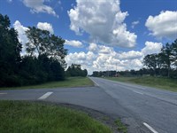
WILL NEED 2 GATE CODES. From Atlanta/Cartersville - I-75 North to Exit 290 (GA 20) turn right on GA 20 East towards Canton, go 6.9 miles turn Right on Rhine Road SE, go 1.1 miles, turn Right on Upper Sweetwater Trail, go 0.5 mile, turn Left onto dirt road with gate (gate is at least 150' from the paved road). From this point stay on main dirt road (not maintained by Cherokee County Road Department),
AGENTS - REACH OUT TO AGENT FOR THE REST OF DIRECTIONS and CODES
More Land Details
More Land from Raborn Taylor
 44 AC : $704K
- 21.8 AC : $327K
- 7.2 AC : $170K
- 26.5 AC : $500K
- 5.1 AC : $375K
- New47.1 AC : $424K
- 10 AC : $231K
- 6.1 AC : $265K
- 52.5 AC : $350K
- 3.4 AC : $600K
- 2.5 AC : $87.2K
- 32.9 AC : $329K


