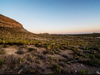
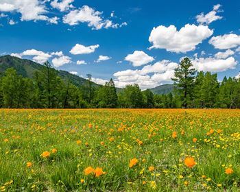
Abundant Recreational Opportunities
Deeth, NV 89823
Elko County, Nevada
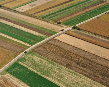
Land Description
Watch Video Above For More
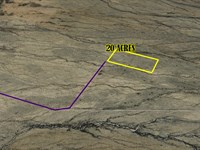
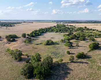
Elko 20 Acres
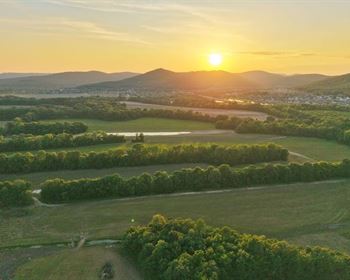
Borders Thousands Of Acres Of Public Land To The North And West.
Zoning Allows: Hunting, Camping, Horseback Riding, Ball Games, Archery, Picnicking, Snowmobiling, Skiing And Similar Uses Allowed
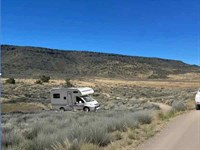
Owner Will Have Access To Thousands Of Acres Of BLM (Bureau Of Land Management) Land -This Is Public Land With Many Recreational Opportunities
Open Space Zoning also Allows for:
• Passive and Active Recreation: designated trail networks, hiking, wildlife observation, and picnicking.
• Resource and Habitat Conservation: Protection of historic sites, and wildlife habitats.
• Agricultural Uses: Low-impact agricultural operations (like crop farming, pastures, and botanical conservatories), particularly in more rural counties like Elko.
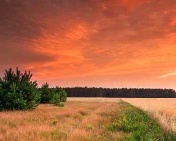
Located in a ranching area, there are no neighbors near this high desert land.
It is a ranching community with BLM wild horses and cattle roaming free.
As a land owner here, you can fence off your land should you wish to keep wild horses and cattle out.
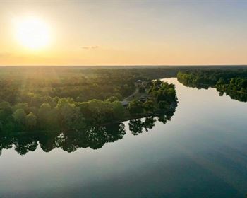
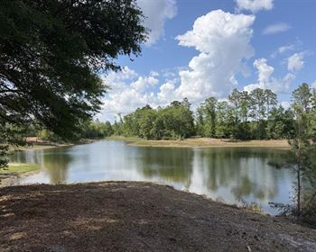
Humboldt River 17,000 ft away to the east and south.
20 Acres (871,200 Sq Ft)
State, County, Zip: Nevada Elko 89823
Legal: SEC 9 TWP 37N RGE 59E Mbd&M
Apn:
Acres: 20 (871,200 Sq Ft)
Zoning: Os Open Space
CODE: 120 Vacant - Single Family Residential
Access: 30 Ft Easements On All Boundries For Ingress & Egress Throughout Entire Section
Utilities: Off Grid
Taxes: $60 Annual Paid Current
DEED: Will Transfer Title With Warranty Deed
Title: Free And Clear
GPS: 41.1128 -115.3305 Approx. Ctn
Price: $14430
Down Payment: $370 First Month Installment
Terms: 39 Monthly Payments $370
30 Monthly Payments $481
26 Monthly Payments $555
Cash Price: Contact Me
Accept Payments:
Paypal, Direct Deposit, Cashiers Check, Bank Checks, Money Order, Personal Check, Zelle, Master Card, Visa, All Major Credit Cards
Processing Fee: $195 Added To The Down Payment
Directions to Land
From Charleston Rd Out Of Deeth Nv
(41.068111° -115.269189°) Head North On Charleston Rd 4.1 Miles To 41.125963° -115.281247° Turn Left For 2.9 Miles To 41.118196° -115.333621° (This Is The Marble Well)Turn Left 0.2 Miles To 41.115507° -115.334921° Turn Left And Go 915 Ft (Off-Road) To 41.115000° -115.331700° This Is The Nw Corner Of The Land.
4 Wheel Drive