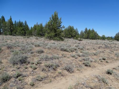
Subdivision: Oregon Pines STREET Address: N/A, near Eva Trail Rd, Chiloquin, OR 97624 State: Or COUNTY: Klamath County, Or Zip: 97624 Size: 1.54 acres LOT Dimensions: 199 feet x 343 feet Apn: 283712 Legal Description: Lot 43 In Block 17, Oregon Pines, According To The Official Plat Thereof On File...
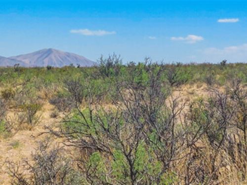
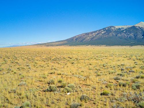
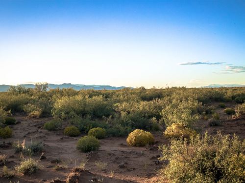
Five open acres of high-desert just between rugged hills, Joshua trees, and views that stretch forever. Out here, the air's cleaner, the stars hit harder, and the only sound at night is wind brushing the sage. The terrain is mostly level with light slopes and desert brush. The hills wrap around the...
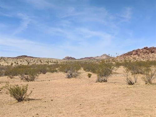
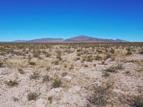
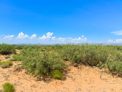
Subdivision: Sierra Prieto Unit 8 Street Address: N/A, near Salt Flat, TX 79847 State: Tx COUNTY: Hudspeth County, Tx Zip: 79847 Size: 20 acres acres LOT Dimensions: 1317 feet x 660 feet Apn: 71252 Legal Description: For Tract 29, Sierra Prieto, Unit 8 A 20.00 Acre Tract OUT OF Section 19, Block...
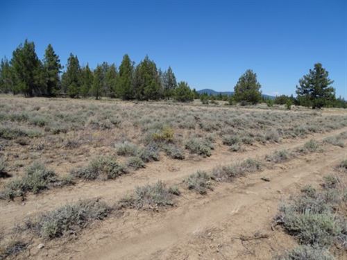
Subdivision: Oregon Pines STREET Address: N/A, Eva Trail Rd, Chiloquin, OR 97624 State: Or COUNTY: Klamath County, Or Zip: 97624 Size: 1.55 acres LOT Dimensions: 166 feet (Northern Leg) x 333 feet (Eastern Leg) x 312 feet (Western Leg) x 250 feet (Southern Leg) Apn: 283696 Legal Description: Lot 45...
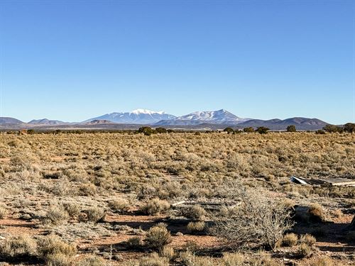
Subdivision: Oregon Pines STREET Address: N/A, near Chiloquin, OR 97624 State: Or COUNTY: Klamath County, Or Zip: 97624 Size: 4.2 acres LOT Dimensions: 476 feet (NE Leg) x 267 feet (SE Leg) x 387 feet (Southern Leg) x 663 Feet (Western Leg) Apn: 284739 Legal Description: Those portions of Block 5...
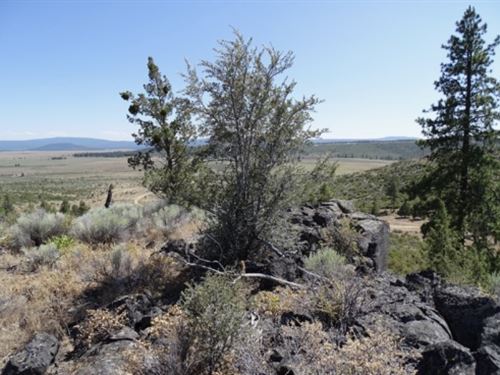
Subdivision: Oregon Pines STREET Address: N/A, near Eva Trail Rd, Chiloquin, OR 97624 State: Or COUNTY: Klamath County, Or Zip: 97624 Size: 1.51 acres LOT Dimensions: 146 feet (Northern Leg) x 343 feet (Eastern Leg) x 247 feet (Southern Leg) x 332 feet (Western Leg) Apn: 283703 Legal Description...
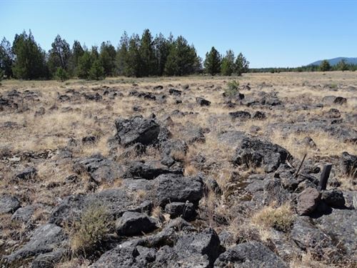
Subdivision: Nimrod River Park 2nd Addition STREET Address: 33708 Co Hwy 599, Chiloquin, OR 97624 State: Or COUNTY: Klamath County, Or Zip: 97624 Size: 1.51 acres LOT Dimensions: 170 feet x 405 feet Apn: 339529 Legal Description: Block 18, Lot 4 of the 2nd Addition to Nimrod River Park as shown on...
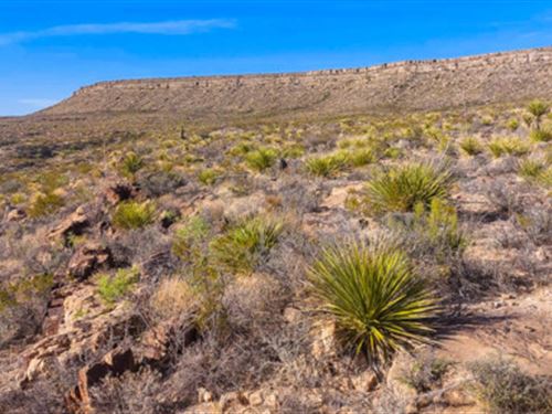
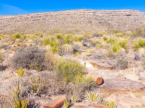
Subdivision: S.L.V.R. Unit 7 Street Address: N/A, near Ll 9th St, Blanca, CO 81123 State: Co COUNTY: Costilla County, Co Zip: 81123 Size: 5.00 acres LOT Dimensions: 630 feet x 333 feet Apn: 703-48-950 Legal Description: Lot 14, Block 6, Replat Of The San Luis Valley Ranches, Inc. Unit 7, Costilla...
Subdivision: Grand Canyon Unit 12 Street Address: 2148 S Lowell Dr, Williams, AZ, 86046 State: Az COUNTY: Coconino County, Az Zip: 86046 Size: 1.08 acres LOT Dimensions: 293 feet x 168 feet Apn: 503-19-019 Legal Description: Grand Canyon Unit 12 Lot: 229 Google Maps Link: Lat/Long Coordinates: Nw...
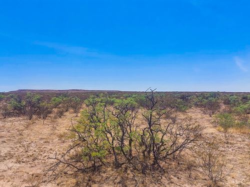
Subdivision: Sierra Prieto 59 Street Address: N/A, near Sierra Blanca, TX 79851 State: Tx COUNTY: Hudspeth County, Tx Zip: 79851 Size: 29.341 acres acres LOT Dimensions: 1,217 feet x 735 feet Apn: 76986 Legal Description: For Lot 29, Sierra Prieto, Unit 59 A 29.341 Acre Tract OUT OF Section 8...
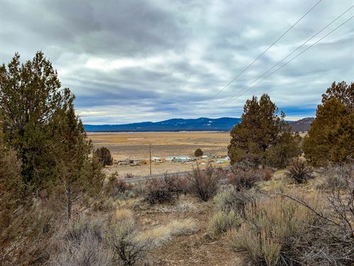
Subdivision: Nimrod River Park 5th Addition STREET Address: N/A, Harney, Sprague River, OR 97639 State: Or COUNTY: Klamath County Zip: 97639 Size: 1.59 acres LOT Dimensions: 357 feet (Eastern Leg) x 270 feet (Western Leg) x 227 feet (Southern Leg) x 317 feet (Northern Leg) Apn: 339921 Legal...
Subdivision: Gunsight Ranch STREET Address: N/A, near Sierra Blanca, TX 79851 State: Tx COUNTY: Hudspeth County, Tx Zip: 79851 Size: 10.65 acres LOT Dimensions: 601 feet x 907 feet Apn: 62917 Legal Description: Being part of Parcel No. R62917 Tract 1 less the North one-fifth (1/5) of Tract I, and...
Subdivision: Gunsight Ranch STREET Address: N/A, near Sierra Blanca, TX 79851 State: Tx COUNTY: Hudspeth County, Tx Zip: 79851 Size: 10.65 acres LOT Dimensions: 545 feet x 905 feet Apn: 12457 Legal Description: Being part of Parcel No.: R12457tract 1 less the South four-fifths (4/5) of Tract 1...
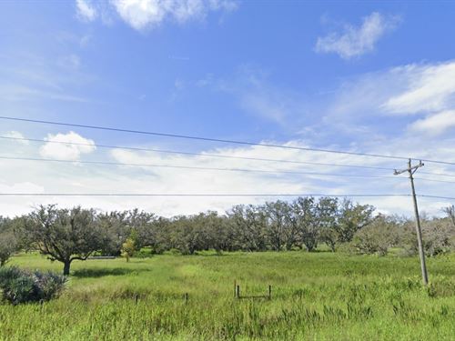
Subdivision: N/A Street Address: N/A, near Lake Wales, FL, 33898 State: Fl COUNTY: Polk County, Fl Zip: 33898 Size: 1.49 acres LOT Dimensions: 167 feet x 393 feet Apn: 30-31-01-000000-031100 Legal Description: W1/2 of SE ¼ of NE ¼ of NE ¼ of NW ¼ of Section 1, Township 31 South, Range 30 East, Polk...